November Group Meeting Report
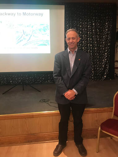
A picture of a sunken trackway bathed in dappled sunlight alongside an aerial view of four lanes of stationery traffic on the M25 with red warning signs flashing was the introduction toMike Bundock’s presentation on the history of roads and their uses at our November meeting.
Some of these trackways, used by man and animals since prehistoric times, can still be recognised on walks in the countryside. The Romans used advanced engineering skills in the construction of their network of straight roads, allowing marching legions to travel directly from place to place. After their departure from Britain these roads fell into disrepair. Over time there were various attempts to address the cost and execution of road maintenance. At one time it was compulsory for every adult, including the gentry, to spend four consecutive days each year repairing roads – unsurprisingly this had variable results.
In the late seventeenth century Turnpike Acts of Parliament authorised the collection of tolls from road users to pay for repairs and the purchase of land to widen or divert existing roads. As mentioned in Esme’s presentation in April 2016, the route of the toll road between London and Hythe went through Swanley, at the time open farmland, the first tollgate being in the Ruxley area. The collectors of the tolls lived in tiny Toll Cottages – some still survive. Notices outside gave the toll charges and also groups who were forbidden to use the road – hawkers, higglers and gypsies - they had to find alternative routes. Milestones of various design showed distances. The ‘fathers of the modern road’ were civil engineers John Metcalfe, Thomas Telford and John Loudon McAdam.
Roads were the only means of transporting people and commodities by land until early in the nineteenth century. Mike showed us many examples from simple carts, solid wagons, stagecoaches and mail coaches, early bicycles, charabancs and motor cars. Travelling was uncomfortable with little suspension, solid wheels and no protection from the weather for those passengers sitting outside and horses need changing every thirty miles. How those ladies managed to cycle in their voluminous skirts I cannot imagine!
The earliest road map of Britain is The Gough Map of about 1360, made of sheepskin parchment, which showed sections of routes with pictures identifying important buildings such as churches. The first Ordnance Survey map, printed on linen, appeared in 1675 and later organisations such as the AA produced handbooks with information on places to visit and hotels. Now that we are using Sat Nav technology sales of maps have plummeted.
Road numbering is not random and started in 1913. We viewed a map showing how Britain is divided for this purpose. Early road signs were put up by organisations such as the British Cycle Touring Club, AA and RAC and were of different designs and materials. District councils erected multi directional fingerposts.
Our first section of motorway was Preston by-pass opened in 1958. The M25 was completed in 1986. Motorway service stations were essential for traveller comfort and had a style of their own as shown in photographs taken at Farthing Corner Service Station. We were surprised to learn that there has only been an increase of 50,000 miles of road capacity in one hundred years, despite the number of licenced users increasing from approximately 143,000 to
34 million. With this great increase in traffic and heavier vehicles, our roads continue to disintegrate. Will future roads be made of plastic or glass or other materials?
Christina Tyler, Programme Organiser